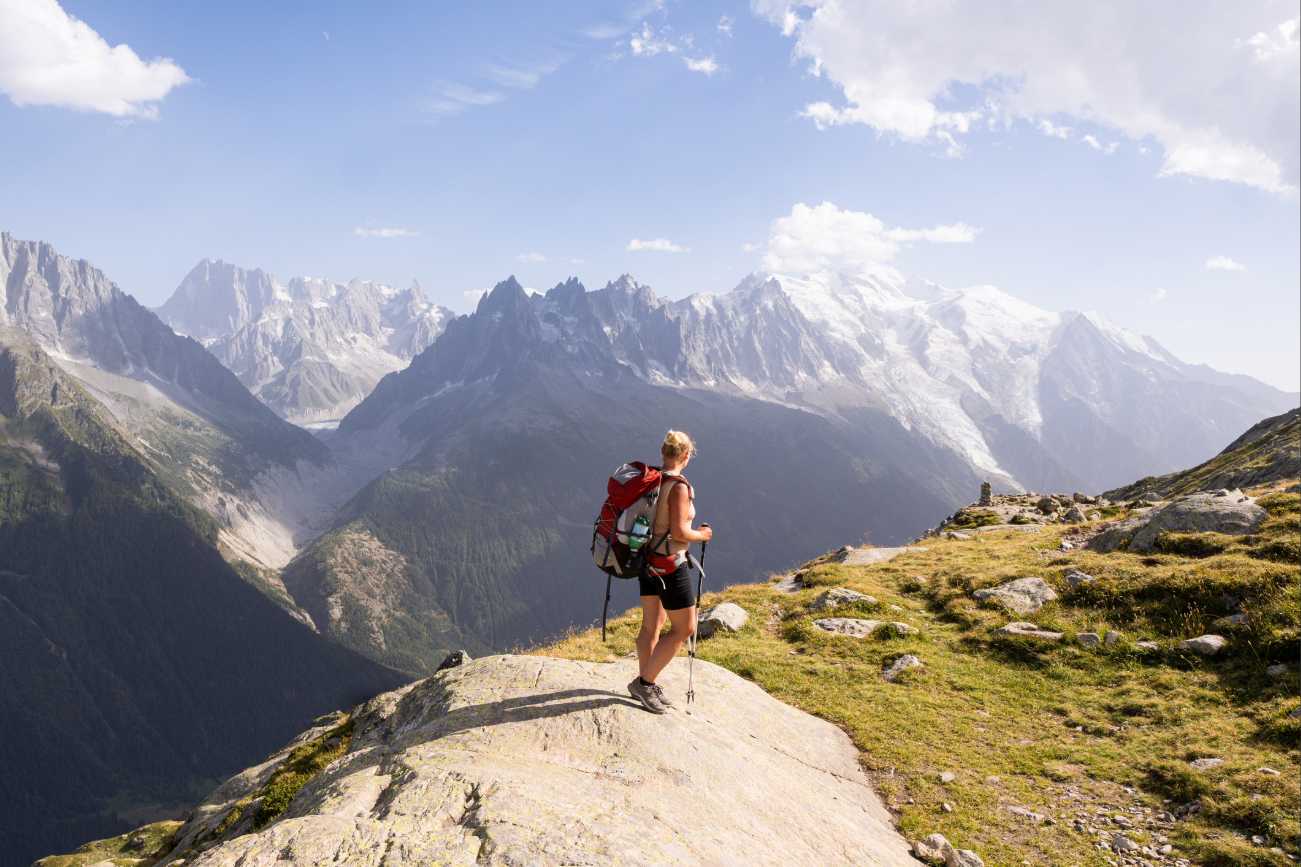


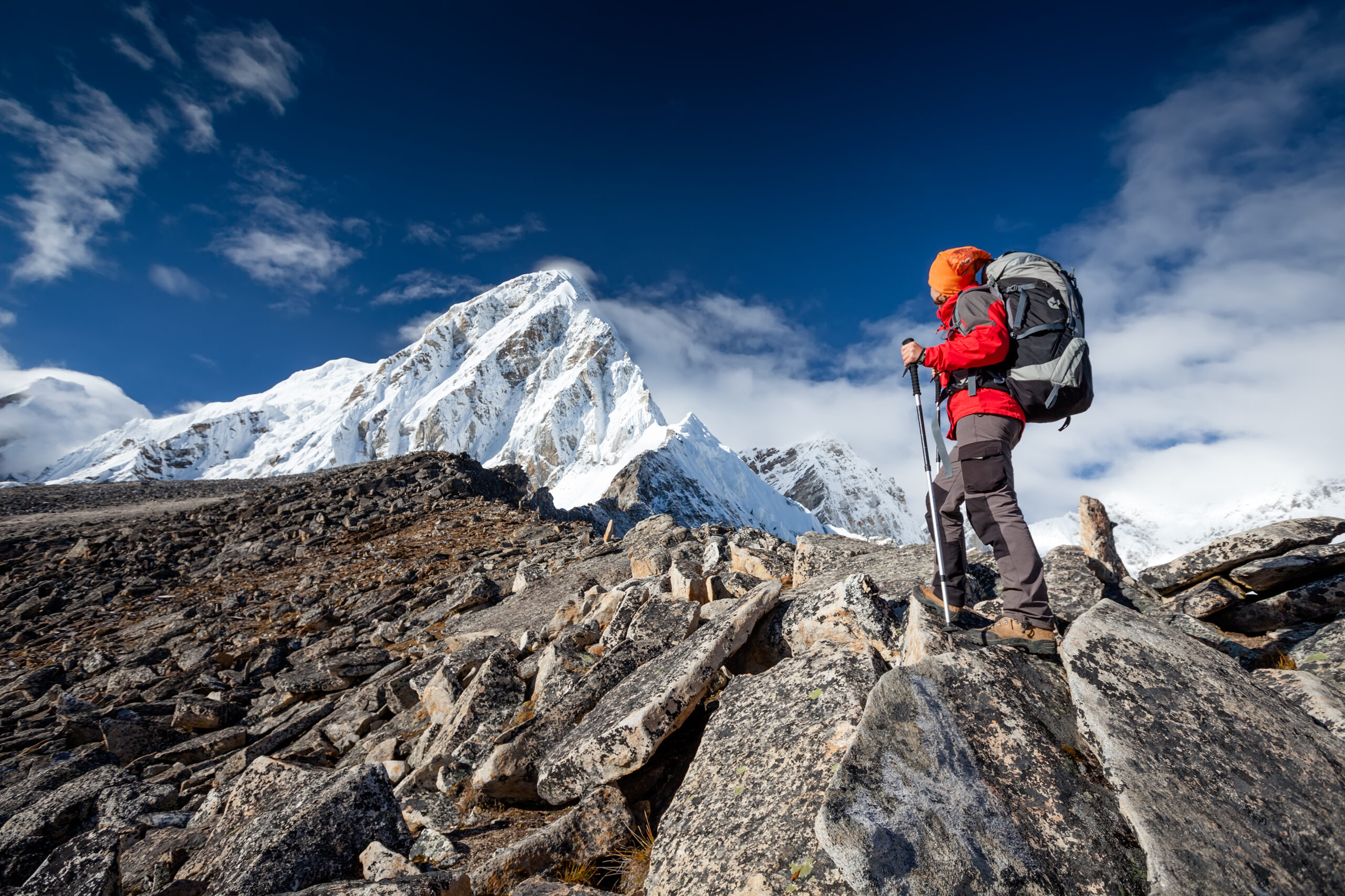
One of the joys of high-altitude trekking is watching the landscape change around you. Woodland gives way to open slopes, rocky passes and perhaps snow-covered peaks. The views become bigger and the weather can feel bigger too.
A shower that would be an inconvenience in a sheltered valley can become a much greater challenge on a cold, exposed trail. Strong winds have more impact when there are no trees to break them, while a sudden storm may arrive when the next lodge is still hours away.
Understanding how height and terrain change your exposure helps you prepare for the adventure ahead, from the conditions you might encounter to the ground beneath your boots and the places you can stop safely.
How does altitude affect the weather?
Altitude can make weather more demanding through colder temperatures, greater exposure and, on some routes, fewer opportunities for shelter. Mountains also influence the weather itself: they force air upwards, which can increase cloud and precipitation, while ridges and passes can intensify wind. The effects depend on the region, season and terrain.
Strong winds and driving rain
As moisture-laden air rises over a mountain, it cools, helping cloud and rain or snow to form. This can make the slopes facing the incoming wind particularly wet, although the other side of the range may be much drier. Higher does not always mean wetter.
On an open ridge or pass, stronger winds can affect balance and drive rain into your clothing. Wind also increases heat loss from exposed skin. Add wet clothing and colder air, and conditions can become uncomfortable much faster than they would on a sheltered trail below.
Storms and sudden loss of visibility
Depending on the destination and season, you may encounter thunderstorms, heavy downpours, hail or snowstorms. Some mountain regions have a pattern of afternoon thunderstorms during warmer months; others are more affected by passing weather systems or seasonal rains.
Above the treeline, open slopes and ridges leave you particularly exposed to lightning. Cloud can also envelop a route, hiding landmarks and making navigation more difficult. A storm forecast therefore needs to shape when and whether you tackle an exposed stage.
Sharper temperature changes
Temperatures generally fall with height, but the day’s experience can be more varied than a single forecast number suggests. A sunny climb may feel warm, followed by a much colder break in shade or wind. High camps can also have a substantial difference between daytime and overnight temperatures, especially in dry, clear conditions.
That is why layers need to suit walking, stopping and sleeping. Once you slow down or stop, you are generating less warmth, just when exposure may be increasing.
Snow and ice beyond winter
Depending on the height, location and time of year, rain lower down may fall as snow higher up. Some high routes retain snow into summer, and fresh snowfall can occur during the trekking season.
The freezing level matters, but so does recent weather. Yesterday’s snowfall, overnight frost or a thaw can affect today’s path even if the forecast looks bright. Check current route conditions as well as the sky above you.
What should you expect at 2,500m, 4,000m and beyond?
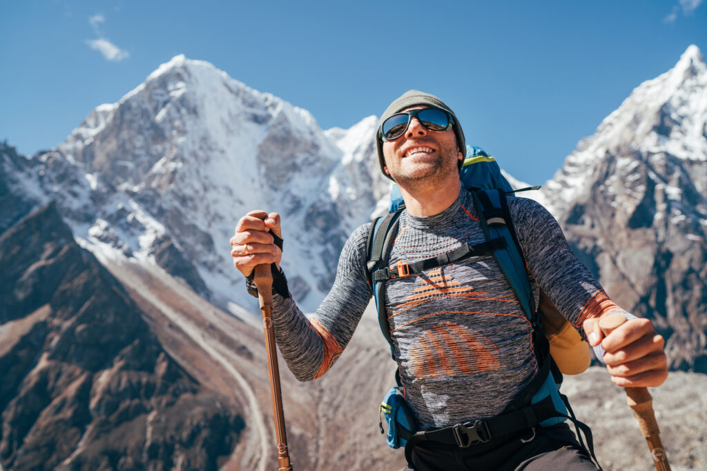
There is no height at which the weather suddenly switches from manageable to extreme. Severe conditions can occur on much lower mountains, while a higher route may have a calm, clear day.
Still, altitude is a useful way to think about how weather, terrain and access to shelter interact. Treelines vary between regions: you may be above the trees at 2,500m in one mountain range and still among them in another.
| Approximate altitude | What to consider | Useful planning question |
| 2,500m | Forest may give way to open ground, depending on the region. Wind, heavy rain and seasonal snow can make a route feel very different from the valley below. | Where does the route become exposed, and how far is the next suitable stopping or shelter point? |
| 4,000m | Many routes are above the treeline, with rocky slopes and less natural protection. Strong sun, cold winds, storms and snow or ice may feature, depending on the season. | How long will we spend on exposed terrain, and can we retreat before conditions deteriorate? |
| 5,000m | Routes are generally treeless, with rock, scree and potentially extensive snow or ice. Severe cold, strong winds or snowfall can have greater consequences when shelter is distant. | How long would it take to reach a lodge, camp or lower ground if someone was moving slowly? |
| 7,000m | Expedition terrain may involve persistent snow or ice, extreme cold and highly exposed sections. Support and shelter arrangements need specialist planning. | Does the team have the expertise, equipment and evacuation arrangements for this particular objective? |
These are planning prompts, rather than fixed weather zones or insurance categories. Season, latitude, slope direction and the route itself all influence conditions. A sheltered trail and an exposed ridge at the same height can present very different challenges.
Being above the treeline does not automatically mean being remote: some routes have well-spaced huts, while others have long gaps between suitable shelter points. Check actual walking times and what shelter is available, rather than assuming lower ground or safety is close by.
An objective approaching 7,000m should not be treated as simply a longer version of a lower trek. Terrain, technical skills and expedition support require careful assessment.
How does weather change the terrain beneath your boots?
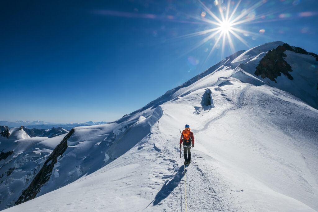
The weather leaves its mark on the trail, sometimes long after the storm has passed. A route you walked comfortably yesterday may need a fresh assessment today.
Rocks and loose ground
Rain can make rock surfaces slippery, while frost may leave a coating of ice. Water entering cracks can freeze and expand, contributing to rock breaking apart. Heavy rain and thawing conditions can also contribute to rockfall or unstable slopes in susceptible terrain.
On a steep, exposed path, a loss of grip has different consequences from a slip on a broad valley trail. Follow local warnings and route closures, especially after significant weather changes.
Snow, ice and hidden paths
Fresh snow can cover trail markings and uneven ground. Existing snow may be firm or icy after a cold night, then soften as temperatures rise. Wind can redistribute snow into drifts and affect avalanche conditions on susceptible slopes.
These changes can slow progress or require specialist skills and equipment. Check local snow and avalanche advice where relevant; a clear day does not establish that a snow-covered route is suitable.
Mud, runoff and river crossings
Heavy rain and snowmelt can saturate paths, making them muddy and slippery. They can also swell streams or damage sections of trail. A crossing that was manageable earlier may no longer be suitable for your return.
Build changing ground conditions into your timings and exit plan. Do not assume a familiar route will remain unchanged throughout the day.
Trees and woodland sections
Below the treeline, woodland can reduce exposure to ordinary wind, but storms bring other concerns. Strong gusts can bring down branches or trees, blocking paths or creating hazards around stopping points.
Trees also do not provide reliable protection from lightning. Avoid treating an isolated tree, rocky overhang or tent as a safe thunderstorm shelter; identify appropriate substantial buildings or enclosed vehicles where these are available.
Prepare for your whole trekking day
It is easy to picture yourself walking steadily beneath a blue sky. Your packing needs to account for the other parts of the day too: waiting for the group, stopping for food, reaching camp and dealing with an unexpected delay.
Start with the route and season
Before booking, find out what the season means for your specific route. Depending on the region, spring may bring lingering snow and muddy trails as it melts; summer can bring thunderstorms, seasonal rains or snow on higher passes; autumn and winter may mean colder nights, fresh snowfall and reduced access.
The pattern will differ between mountain ranges and hemispheres. Ask about the highest and most exposed stages of your itinerary, rather than relying on the weather at your arrival town.
Check when huts or lodges operate, whether water crossings change seasonally and how the operator handles a closed pass. A popular trekking month can offer favourable conditions, but the daily forecast and current trail reports still matter.
Dress for moving and stopping
Layers let you adjust as your effort and surroundings change. Choose a base layer that manages moisture, insulating layers for warmth and an outer layer suited to wind and rain. The amount of insulation you need should match the destination, season and itinerary.
Keep a warm layer accessible for breaks, rather than buried beneath everything else. Hats and gloves are much more useful when you can put them on before you become cold.
On overnight trips, check the sleeping arrangements and required sleeping-bag specification with your operator. A lodge stay and an exposed camping itinerary may call for very different preparation.
Keep your essentials usable
Protect spare clothing and sleeping equipment with suitable waterproof storage. Carry navigation tools you know how to use, a headtorch, food, water and emergency equipment appropriate to the route.
Check the arrangements for drinking water and communication too. If your trek needs specialist snow or ice equipment, make sure you have the training and guidance to use it, and check that the activity matches your insurance.
Practise with your kit before leaving. Familiar boots, manageable layers and a rucksack you can organise easily leave more attention for the trail ahead.
What should your trekking exit plan include?
An exit plan gives you something practical to fall back on when the original itinerary stops making sense. On a guided trek, your operator should be able to explain the arrangements. On a self-guided trip, you need to establish them yourself.
Know where you can go
Identify realistic places to retreat, shelter or reach lower ground. Check what those routes involve: a line descending on a map may still cross difficult terrain, a river or an exposed pass.
Think about timing too. How long would it take the group to reach shelter if someone was moving slowly? What options exist if the next lodge or road is inaccessible?
Know how you will get help
Find out how emergency assistance works in your destination, who coordinates it and what communication equipment is needed. Save local emergency contacts and your insurer’s assistance details where you can access them offline.
Leave your itinerary and check-in arrangements with someone who knows what to do if you miss an agreed contact. Confirm who carries essential group equipment, so it stays available if the group separates.
Allow room for a change
Where possible, build flexibility into your itinerary and onward travel. Spare days and an agreed alternative route can make it easier to respond to conditions without feeling that every delay threatens the whole trip.
Do not assume a helicopter will provide an immediate way out. Weather and other operational factors can prevent flights, and assistance on foot may take time to reach you. Your preparations should account for a wait, while you seek help promptly when needed.
Good weather does not remove altitude risks
A bright, calm day can be ideal for trekking, but it does not tell you how well your body is adjusting to altitude.
As atmospheric pressure falls, less oxygen is available with each breath. Altitude illness is a separate concern from cold or bad weather, usually becoming a consideration above around 2,500m. Fitness does not guarantee protection; ascent rate and acclimatisation matter.
Choose an itinerary that allows gradual acclimatisation, including appropriate sleeping-altitude gains and rest days. Discuss relevant health concerns with a GP or travel clinic before departure.
If you develop a headache, nausea, dizziness or unusual exhaustion at altitude, tell your guide or companions. Do not assume it is simply a hard day’s walking. Do not ascend while you have altitude-sickness symptoms. If symptoms worsen or do not improve after a day, descend and seek medical advice.
Confusion, poor coordination or breathlessness at rest require immediate medical help and descent as soon as safely possible. Knowing what to report and feeling comfortable reporting, it is an important part of looking after the whole group.
Where does trekking insurance fit into your preparation?
Once you have chosen your route, check that your insurance matches the adventure you are planning. Look at the highest point you will reach, the destination and the activities involved, including any technical sections.
SportsCover Direct’s Hiking and Trekking Insurance offers selectable trekking altitude limits up to 2,500m, 4,500m and 7,000m, with destination-specific options. Select the appropriate activity and altitude for your itinerary. Technical ascents may also require mountaineering cover.
Our high-altitude trekking cover can include sport-specific protection for search and rescue, trekking equipment, guide fees (in case of cancellation) and medical treatment overseas.
You’ll also find cover for trip cancellation, repatriation, personal liability protection and more. Check rescue arrangements, limits and excesses carefully, including any destination-specific conditions, that are relevant to your requirements.
Find out more about trekking insurance and get a quote online.
This blog has been created as general information and should not be taken as advice. Make sure you have the correct level of insurance for your requirements and always review policy documentation.